Qaraağac | |
|---|---|
Municipality | |
 Qaraağac | |
| Coordinates: 39°42′36″N 44°55′18″E / 39.71000°N 44.92167°E | |
| Country | |
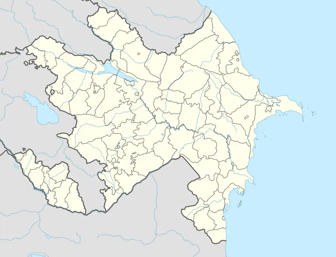
| Autonomous republic | Nakhchivan |
| District | Sadarak |
| Population (2005) | |
| • Total | 3,859 |
| Time zone | UTC+4 (AZT) |
Qaraağac (also, Garaaghaj, Garaaghadzh and Karaagach) is a municipality and village in the Sadarak District of Nakhchivan, Azerbaijan. It is located 5 km in the north-east from the district center, in the important strategic position. Its population is busy with grain-growing, vegetable-growing, vine-growing and animal husbandry. There are secondary school and a medical center in the village. It has a population of 3,859.[1]
Etymology
Its name is related with Qaraağac (Garaaghaj) forest which is located in the end of the strait of the Cəhənnəm dərə (Hell valley), in Sadarak. Garaaghaj is a type of the tree. The name of the tree is made out from the Turkic words of qara (black, strong, hard) and ağac (tree) means ( Black tree).[1]
History
In 1997, by the decision of the Supreme Assembly of Nakhchivan Autonomous Republic, it was separated from the Sadarak village and became an independent administrative unit.[1]
References
