| Penyagalera | |
|---|---|
 | |
| Highest point | |
| Elevation | 1,034 m (3,392 ft) |
| Coordinates | 40°38′55″N 00°14′33.8″E / 40.64861°N 0.242722°E |
| Geography | |
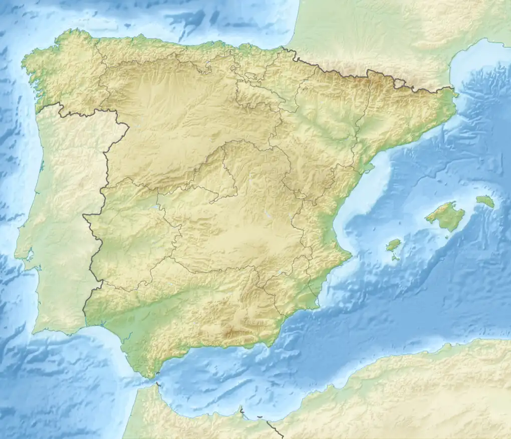 Penyagalera Spain | |
| Location | Matarranya, Aragon |
| Parent range | Ports de Tortosa-Beseit |
| Geology | |
| Mountain type | Limestone |
| Climbing | |
| Easiest route | Hike from Beseit (Beceite) |
Penyagalera (Catalan pronunciation: [ˌpɛɲəɣəˈlɛɾə]) is a rocky mountain in the northern side of the Ports de Tortosa-Beseit, Aragon, Spain. Punta de Penyagalera, the highest summit, has an altitude of 1,034.4 metres above sea level.[1]
Penyagalera, the name of the mountain (penya "rock" and galera "galley" in Catalan) derives from the fact that it looks like a ship keel upwards from certain angles.
See also
References
- ↑ "Mapa Topogràfic de Catalunya". Institut Cartogràfic de Catalunya. Retrieved 9 September 2010.
External links
- Penyagalera - Excursions from Beseit (in Catalan)
- Penyagalera - Toll del Vidre (in Spanish)
This article is issued from Wikipedia. The text is licensed under Creative Commons - Attribution - Sharealike. Additional terms may apply for the media files.